Psalms

Proverbs 16:9

In his heart a man plans his course, but the Lord determines his steps.

Psalm 4:4
Stand in awe; commune with your own heart, and be still.


Sunday, April 23, 2017

Providence Canyon

Providence Canyon, sometimes called Georgia's "Little Grand Canyon," near Lumpkin, Georgia is one of the places I wanted to stop and do some hiking on my way north.
The massive gullies, up to 150 feet deep, that make up the canyon were caused by erosion, simply due to poor farming practices during the 1800s.
This historical marker tells a little bit about the start of the Providence farming community.
The second Providence Methodist Church was built about 1859 next to the Lowe Cemetery. 

One door was ajar, so I could get a couple of inside pictures. Notice what appear to be oil lanterns hanging from the ceiling. 
And the old stove. 
This marker was by the church and cemetery.
We wandered among the circa 1800s graves, but we did not locate the Lowes. Some graves were not marked. Thistle said it was getting too hot to keep looking.
There are a lot of warning signs outside the Visitor Center.
My original desire was to hike into the canyon, but I got started on my trip a month later than planned, and it is much too hot to attempt it now. 

It's hard to miss all these warning signs. 
This sand painting is meant to represent the colorful layers of the canyon walls.
Thistle and I decided it was prudent to stick to the shady rim trail during this visit. 
And he quickly let me know that it was nearing 90 degrees and was really too hot for him even on the rim trail. 
So I got pictures of some of the views from the rim before we returned to our air-conditioned car.
There is water on the canyon floor all year, and that water eventually flows into the Chattahoochee River.
The canyon soil's pink, orange, red and purple hues create lovely landscape photos of this quiet park.
Erosion is an ongoing event in the canyon.
And at least some of it is caused by hikers ignoring the "No Climbing" warnings. 

This hiker climbed all the way to the top of the photo...and without any climbing gear. 
Every now and then they have a ranger-led geology hike here. I signed up for one when I thought I would be here in March, but had to cancel. Maybe next year I can take one. 
When I come back in cooler weather, I will leave Thistle home for the hike into the canyon. 


Saturday, April 22, 2017

Coheelee Creek, Georgia

Doesn't sound like much, does it? Maybe you've never heard of it. The locals probably prefer it that way.
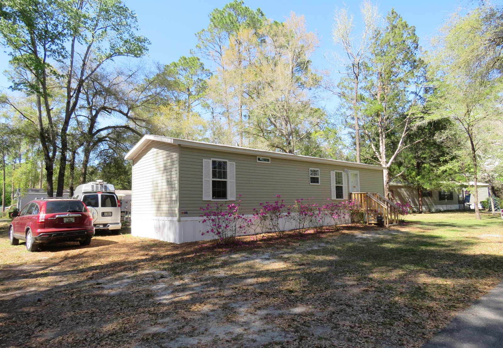
But I'm getting ahead of myself. So let's back up a bit. Most of you know I recently bought a small mobile home in Dowling Park, FL. Specifically Advent Christian Village, Florida's first retirement community.
It took a month to complete all the paperwork and I took possession on April 14th. It gave me time to get to know the community and make some friends and helpful neighbors. We even had a get-together of some of my RVing friends: Donna, Brenda, Carol, and Margie. Nan visited too.
I made some kayaking friends too, and enjoyed kayaking the Suwannee River here. 
So I was here long enough to fall in love with my new community, but it is still Florida, and still too hot in the summer, so as long as I can I will travel to cooler climates in the summer. So on April 21 I bade Dowling Park farewell and am on the road again.
I traveled though some interesting small towns like Quitman, GA, that made me think I'll have a lot of exploring to do when I come back south.
I shunned the interstates and found some scenic roads in good condition with very little traffic.
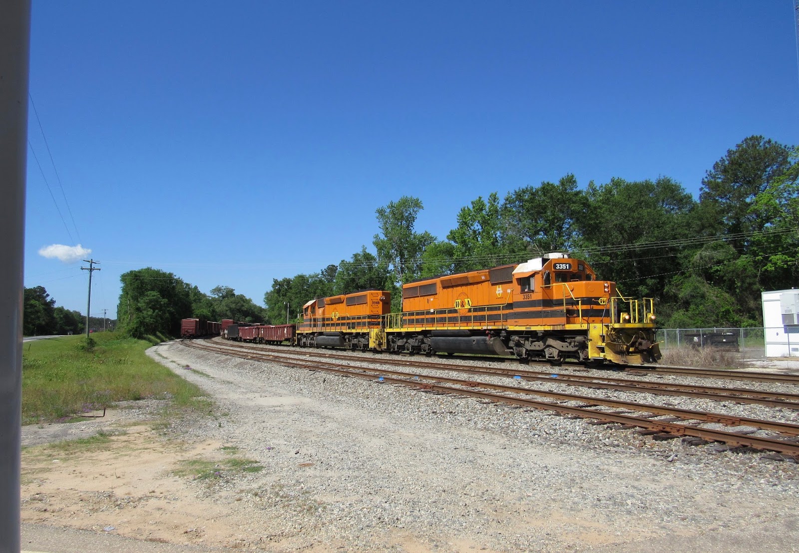
Just two miles from my destination....
The 20-minute wait gave me time to read about the historic covered bridge over Coheelee Creek. I read it several times, lol.
Finally the train conductor took pity on me and backed the train up so the bars went up at the crossing. 
And I was on my way to Coheelee Creek Park, a free Corps of Engineers park on the border between GA and AL.
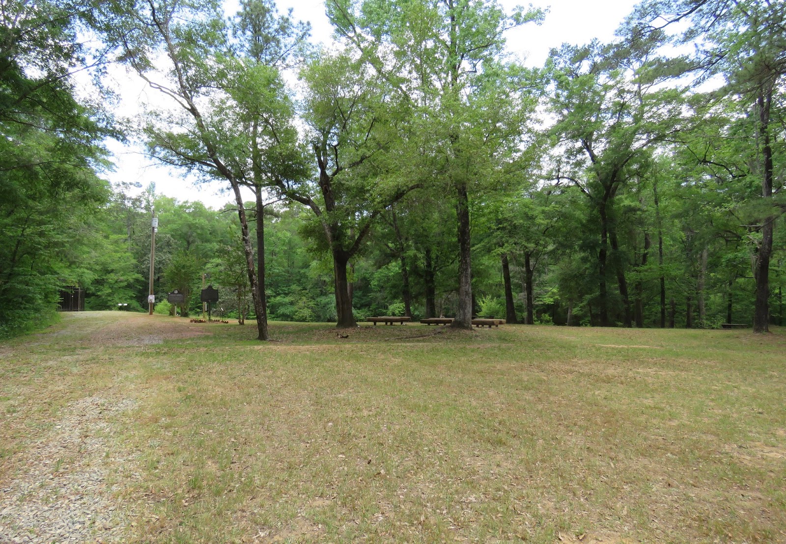
No one was there, so I parked in a level shady spot across from the boat ramp.
Thistle and I checked out the boat ramp first.
Thistle always has to test the water.
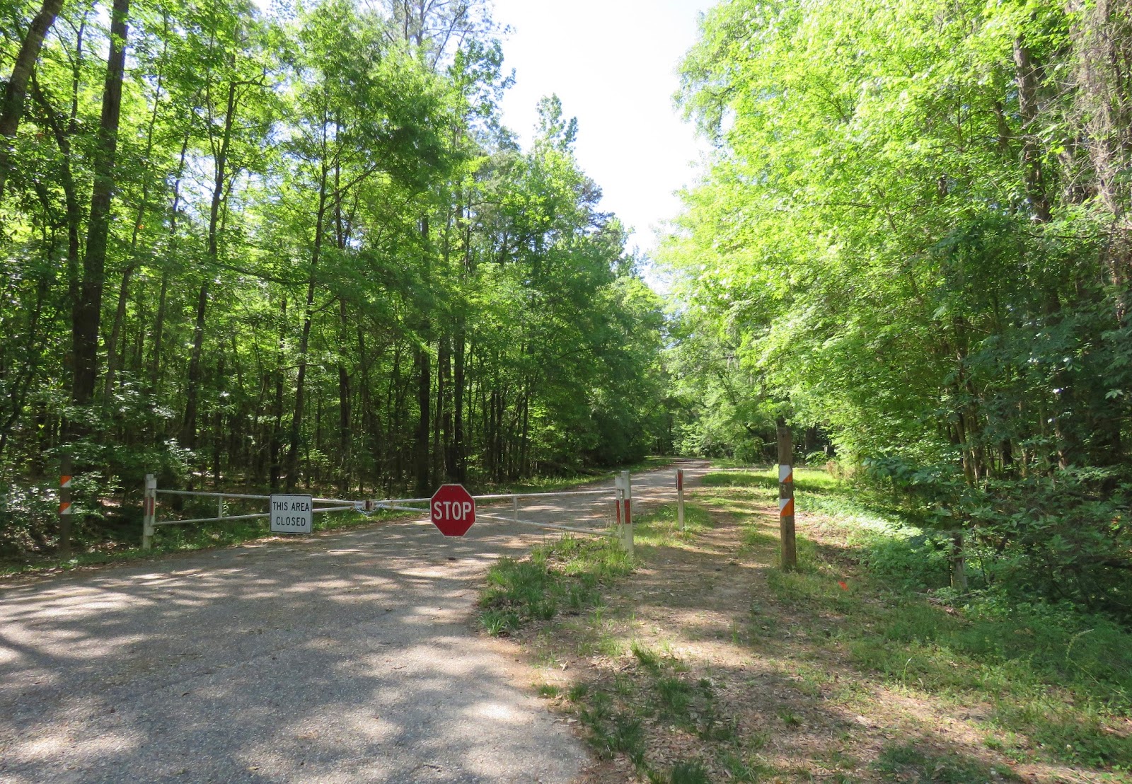
Next we took a walk and found the associated campground. It was closed as you can see.
According to a local fisherman I met later, it was closed a few years ago due to budget cuts.
The campsites overlooking the creek are overgrown and in disrepair.
Overlooking the confluence of Toheelee Creek and the Chattahoochee River.
So Thistle and I did the next best thing...we put the kayak in the creek. And paddled upstream toward the covered bridge. You can see there was very little current.
Soon the banks became very steep, and a wondrous hanging garden opened up before me.
Water seeping down the banks drips into the creek and provides just the right conditions for ferns and other plants to grow there.
Intertwining vines...
Thistle appeared to enjoy the beauty too...or else he was watching for critters. 
After about a mile, the creek narrowed and we could see waterfalls ahead.
That was as far as we could paddle, and we couldn't see the bridge yet.
But we could paddle right up to the base of the falls. You can see that there are several levels of cascades farther up. 
It looks like a tropical paradise back here...one that should perhaps be kept secret between me and the locals.
I decided to get out and see if I could walk around the falls to the bridge. 

But it was too wet and slippery to get past the falls.
So I decided to paddle back to the vehicles and take the car to the bridge. 
Drifting downstream... 
Tree roots!
Roots clinging to limestone. 
Thistle took a nap. 
The park on this side of the creek has picnic tables and trails.
But camping is no longer allowed here. I updated the Allstays ap, but the COE needs to update their website also.
The covered bridge, built in 1891, is the southernmost covered bridge remaining in Georgia.
Apparently April is Confederate remembrance month here. 
The bridge is closed/gated off, which helps protect it from graffiti and other vandalism. 
The bridge was built over the fall line, where the water stops dropping from the mountains and begins its run to the sea.
Coheelee Creek flows into the Chattahoochee River, which in turn flows south to the Apalachicola River and onward to the Gulf of Mexico.


The trail follows along the bluff to where our kayak trip ended. 
Looking down from the bluff at the cascades. 

Back by the boat ramp, afternoon local fishermen were arriving to put their boats in to the creek. They all headed downstream for the river. All friendly local neighbors. A sheriff's deputy came by on patrol, and he gave me permission to camp here overnight. It was a peaceful, quiet night with no disturbance.