Psalms

Proverbs 16:9

In his heart a man plans his course, but the Lord determines his steps.

Psalm 4:4
Stand in awe; commune with your own heart, and be still.


Saturday, April 22, 2017

Coheelee Creek, Georgia

Doesn't sound like much, does it? Maybe you've never heard of it. The locals probably prefer it that way.
But I'm getting ahead of myself. So let's back up a bit. Most of you know I recently bought a small mobile home in Dowling Park, FL. Specifically Advent Christian Village, Florida's first retirement community.
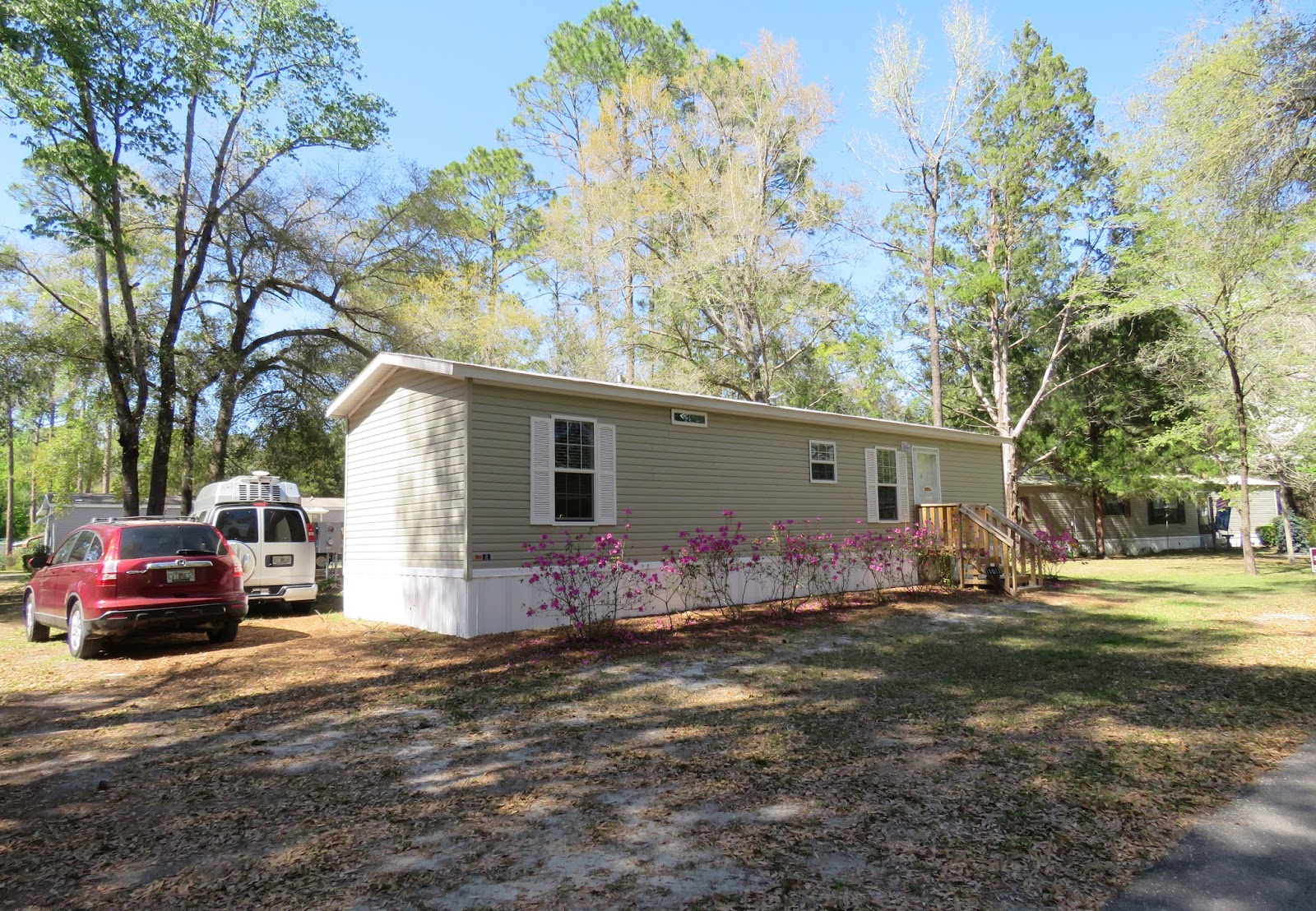
It took a month to complete all the paperwork and I took possession on April 14th. It gave me time to get to know the community and make some friends and helpful neighbors. We even had a get-together of some of my RVing friends: Donna, Brenda, Carol, and Margie. Nan visited too.
I made some kayaking friends too, and enjoyed kayaking the Suwannee River here. 
So I was here long enough to fall in love with my new community, but it is still Florida, and still too hot in the summer, so as long as I can I will travel to cooler climates in the summer. So on April 21 I bade Dowling Park farewell and am on the road again.
I traveled though some interesting small towns like Quitman, GA, that made me think I'll have a lot of exploring to do when I come back south.
I shunned the interstates and found some scenic roads in good condition with very little traffic.
Just two miles from my destination....
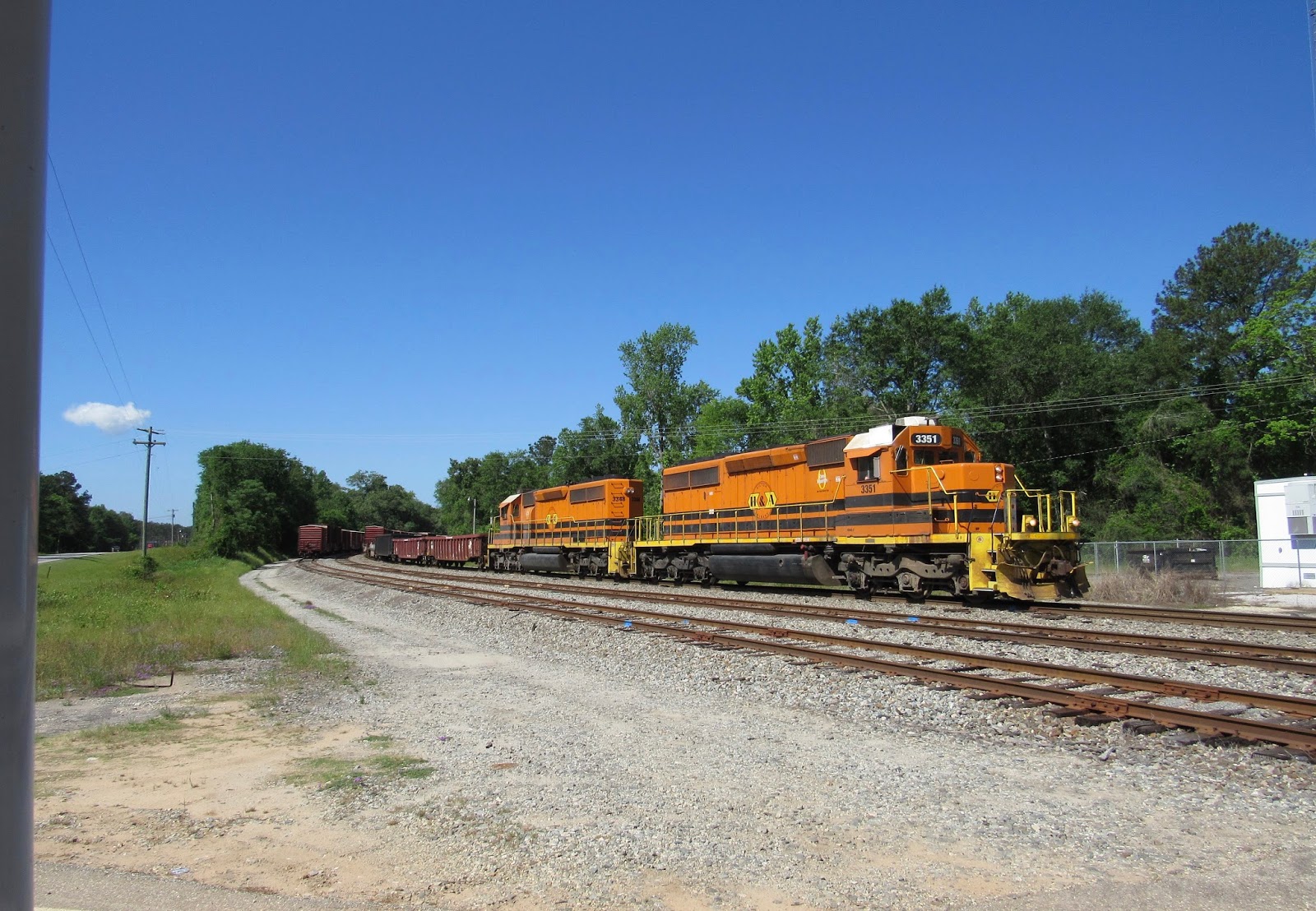
The 20-minute wait gave me time to read about the historic covered bridge over Coheelee Creek. I read it several times, lol.
Finally the train conductor took pity on me and backed the train up so the bars went up at the crossing. 
And I was on my way to Coheelee Creek Park, a free Corps of Engineers park on the border between GA and AL.
No one was there, so I parked in a level shady spot across from the boat ramp.
Thistle and I checked out the boat ramp first.
Thistle always has to test the water.
Next we took a walk and found the associated campground. It was closed as you can see.
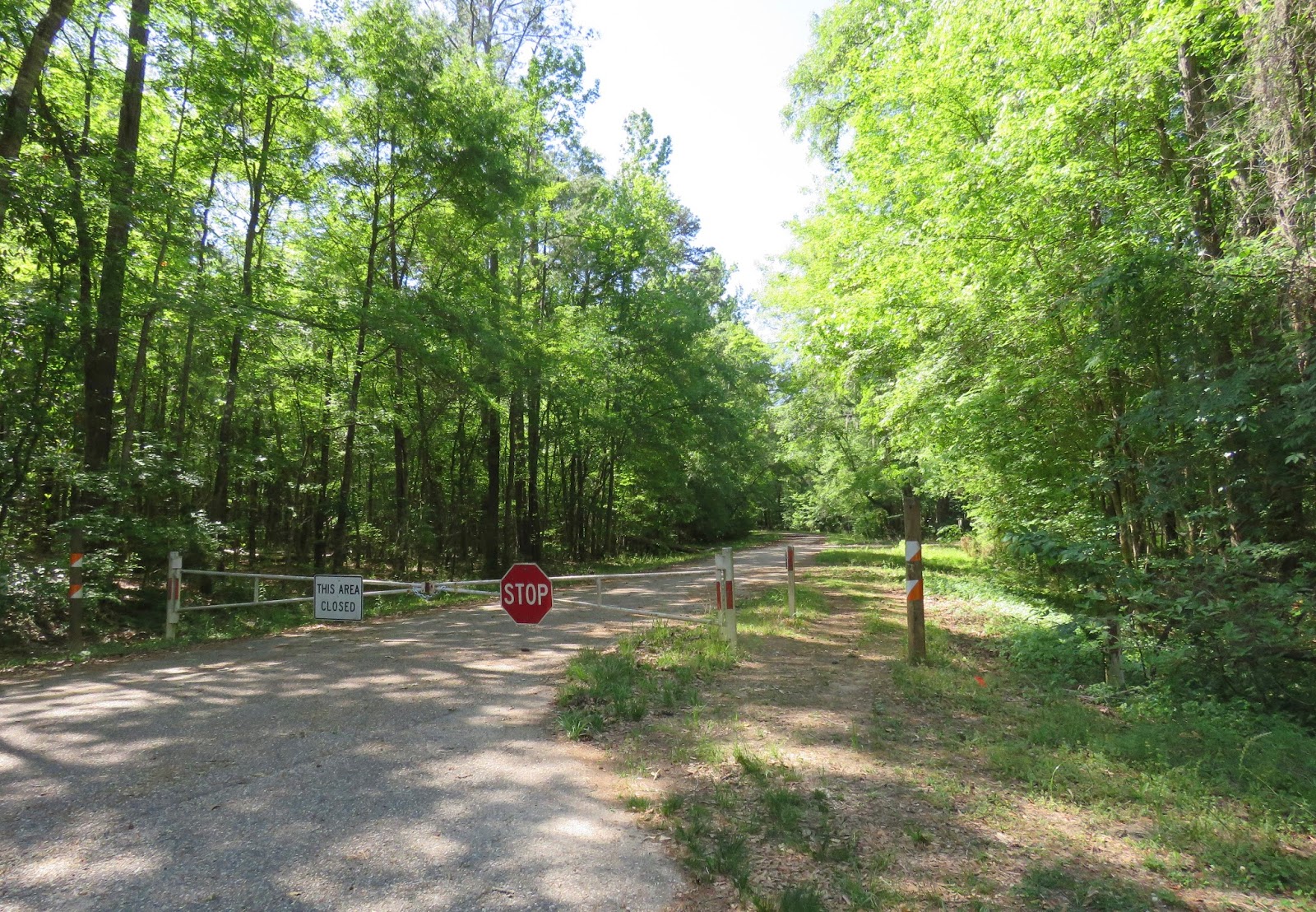
According to a local fisherman I met later, it was closed a few years ago due to budget cuts.
The campsites overlooking the creek are overgrown and in disrepair.
Overlooking the confluence of Toheelee Creek and the Chattahoochee River.
So Thistle and I did the next best thing...we put the kayak in the creek. And paddled upstream toward the covered bridge. You can see there was very little current.
Soon the banks became very steep, and a wondrous hanging garden opened up before me.
Water seeping down the banks drips into the creek and provides just the right conditions for ferns and other plants to grow there.
Intertwining vines...
Thistle appeared to enjoy the beauty too...or else he was watching for critters. 
After about a mile, the creek narrowed and we could see waterfalls ahead.
That was as far as we could paddle, and we couldn't see the bridge yet.
But we could paddle right up to the base of the falls. You can see that there are several levels of cascades farther up. 
It looks like a tropical paradise back here...one that should perhaps be kept secret between me and the locals.
I decided to get out and see if I could walk around the falls to the bridge. 

But it was too wet and slippery to get past the falls.
So I decided to paddle back to the vehicles and take the car to the bridge. 
Drifting downstream... 
Tree roots!
Roots clinging to limestone. 
Thistle took a nap. 
The park on this side of the creek has picnic tables and trails.
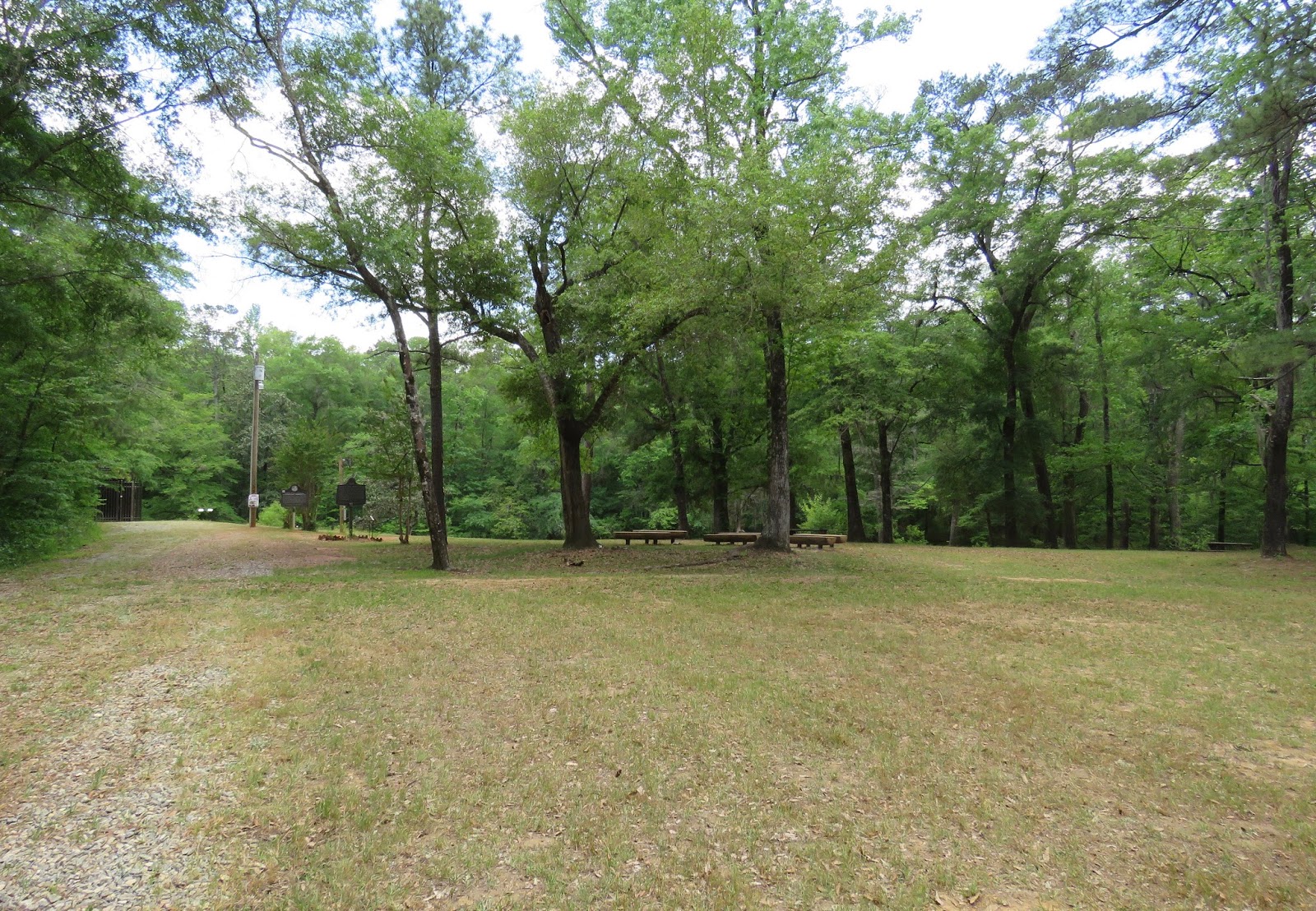
But camping is no longer allowed here. I updated the Allstays ap, but the COE needs to update their website also.
The covered bridge, built in 1891, is the southernmost covered bridge remaining in Georgia.
Apparently April is Confederate remembrance month here. 
The bridge is closed/gated off, which helps protect it from graffiti and other vandalism. 
The bridge was built over the fall line, where the water stops dropping from the mountains and begins its run to the sea.
Coheelee Creek flows into the Chattahoochee River, which in turn flows south to the Apalachicola River and onward to the Gulf of Mexico.


The trail follows along the bluff to where our kayak trip ended. 
Looking down from the bluff at the cascades. 

Back by the boat ramp, afternoon local fishermen were arriving to put their boats in to the creek. They all headed downstream for the river. All friendly local neighbors. A sheriff's deputy came by on patrol, and he gave me permission to camp here overnight. It was a peaceful, quiet night with no disturbance.


Sunday, March 26, 2017

Peacock Springs State Park

I have never spent any time exploring this part of northern Florida, and I had never heard of Peacock Springs. It is just 20 miles from Dowling Park.
The park is primarily used by Scuba Divers, as there are a series of underwater passages through the springs. There is no camping in this State Park.
But there is also an educational interpretive trail, which is what Thistle and I came to hike.
 The entrance is a bumpy dirt road. Drive slow and enjoy the scenery. Pay your $4 park entrance fee at the kiosk, unless you have a state park pass.
 I found out this park is VERY popular with divers, especially on a Sunday afternoon. The parking lot was full except one narrow slot that my Honda Fit could "fit" in.
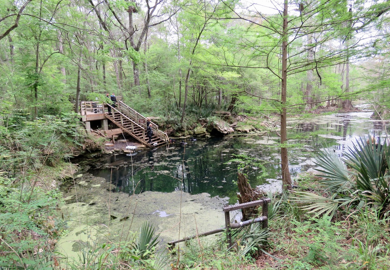
Peacock Springs is really a series of springs along a long slough that eventually flows into the Suwannee River. My first view was of Peacock Springs II.
 Looking up the slough toward Peacock Spring I. These springs are in a cypress-dominated Floodplain Swamp, one of eight natural communities found in this park. 
 Cypress trees surrounding Spring II.
 Looking down the slough toward Peacock Spring III. The other springs along the slough have different names.
 Divers staging area.
 There is a memorial near the steps leading to Spring I.

The steps are dedicated to the memory of Sheck Exley. One side is currently under repair. The steps make it easier and safer for divers to enter the water. 
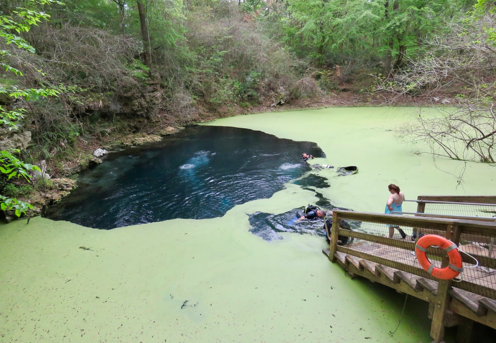
Divers entering the water. The extensive submerged cave system attracts divers from all over the world.
It would be easy to say that the springs got their name from the peacock color of the water, but that is not the case. They are named for the original owner of the land. More on that later.
 The Interpretive trail starts here.
 Immediately I notice a small sinkhole with water from the aquifer visible. It is very small and it is not possible for divers to enter here.
 I learned a lot of things I did not know on this trail. Signs identify trees and other flora, as well as showing us what lies below out feet that we cannot see. The trail follows the path of the cave system.
But first we learn a little history... about the name and the town.
John Peacock was a very busy man. 
The town of Luraville as it appeared in the 1890s.
The Lulaville Railway. 
The Lulaville Country Store on the corner of Highway 51 is the most prominent business in Lulaville today. It is a hangout for divers and has a good reputation for food served. I think if I have time to return while I am here, I will visit here and learn more about Lulaville. That will be another blog post.
This tree is an American Hornbeam, also called musclewood because of its muscular looking trunk. I had never heard of it.
 Do you see the muscular sinews around this elbow?
 Thistle and I come to the first of several signs that answers the question, "What is beneath your feet?"
 The Breakdown Room is 20 feet below.
 Diver navigating the tunnel leading to the "Breakdown Room."
We have now left the Cypress trees and have entered another realm...an Upland Hardwood Forest, heavily shaded by a canopy of Florida Maples and other hardwood trees.
It says this stand of maples is one of the largest in the state. Who knew?
 I will need to come back in the fall and see if the leaves on Florida Maples turn vibrant colors like northern maples do.
There is no sign here, but this land seems to be sunken, perhaps where limestone has collapsed underneath. 
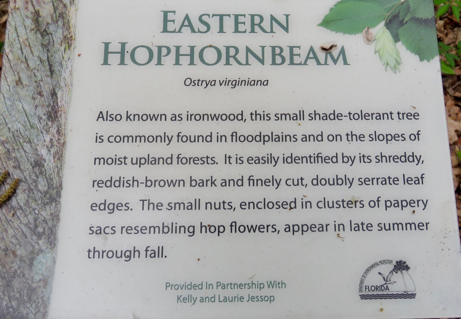
 Another tree I had not heard of.
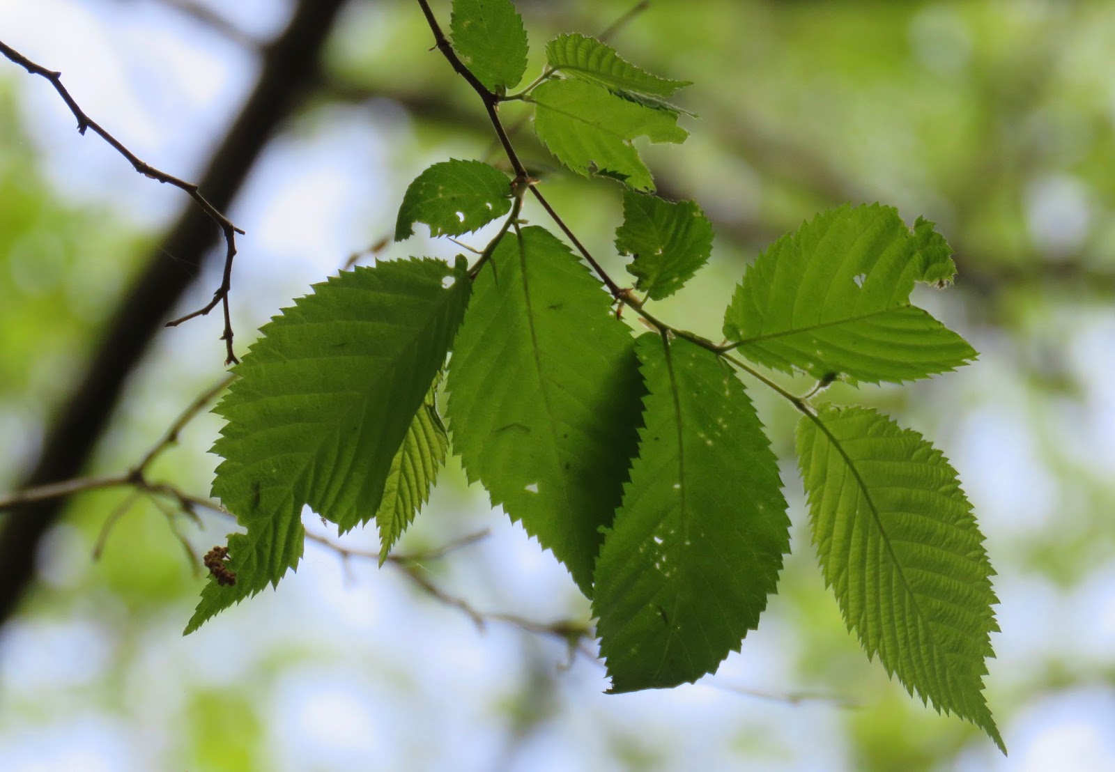
Leaves with double serrated edges. Looks like a saw blade.
 This is not the same tree, but I liked what looked like the head of a woodland creature sticking out of its trunk.
 So what creatures live in the caves, you ask?
There are Troglobites that can only survive in caves, and Trogophiles that just like to hang out in caves, and Trogloxenes that just visit caves and then go home. Pretty cool, huh?
There are magnolia trees here, but they are not in bloom yet, so I didn't take a picture.
 The Sparkleberry tree is almost ready to bloom into those pretty white flowers that remind me of Lily-of-the-Valley.
Can you find the tiny buds starting to form?
The next place we come to is called the "Peanut Restriction." Notice the large sinkhole that lies just above the Peanut Restriction.

 The sinkhole is still active.
 I began to see some wildflowers. I didn't notice these tiny white flowers have fuzzy edges until I uploaded the photo to my computer. I don't know what they are.
 The American Holly is an evergreen tree that grows in the Hardwood Forest.
Next we came to a Pignut Hickory Tree. The wood from this tree is used for tool handles and ladders.
Diamond-patterned bark on the Hickory tree.
I searched and found one hickory nut that the squirrels hadn't carried off.
Here's another one that the squirrels already ate, 
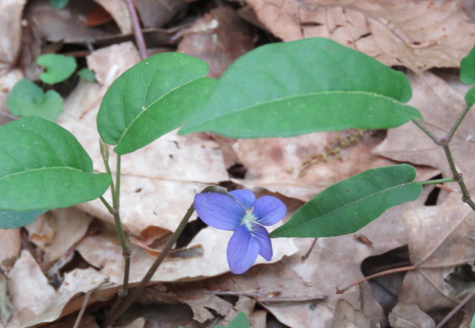
A tiny wild violet on the forest floor.
This tree had multiple fungi growing on its trunk.
 Another tree, more fungi.
 Colorful pattern on the fungi.
And now below our feet we have the "Crypt," so named because skeletal remains of a large turtle were found here by cave explorer, Sheck Exley when he discovered this room in 1975.
An offset sink happens when a sinkhole forms adjacent to the main cave rather than directly over it. They have just one passage leading from the main cave tunnel to the room below the sinkhole. Nearby is an example.
 This tree has two burls, but no squirrels.
 Cisteen Sink, an example of an offset sinkhole.
 An next to it is a beautiful Floodplain Swamp.
This is a Cabbage Palm, also known as a Sabal Palm. It is the state tree of Florida. The fleshy center can be eaten..."hearts of palm" salad. That is how it came to be called "cabbage" palm.
 Well I want to go to the overlook, don't you?
Olsen Sink is what is known as a window into the aquifer because it is not simply a water-filled sinkhole, but actually a portal to the aquifer.
 And that's important because it makes the aquifer vulnerable to surface runoff that may carry fertilizers and other chemicals.
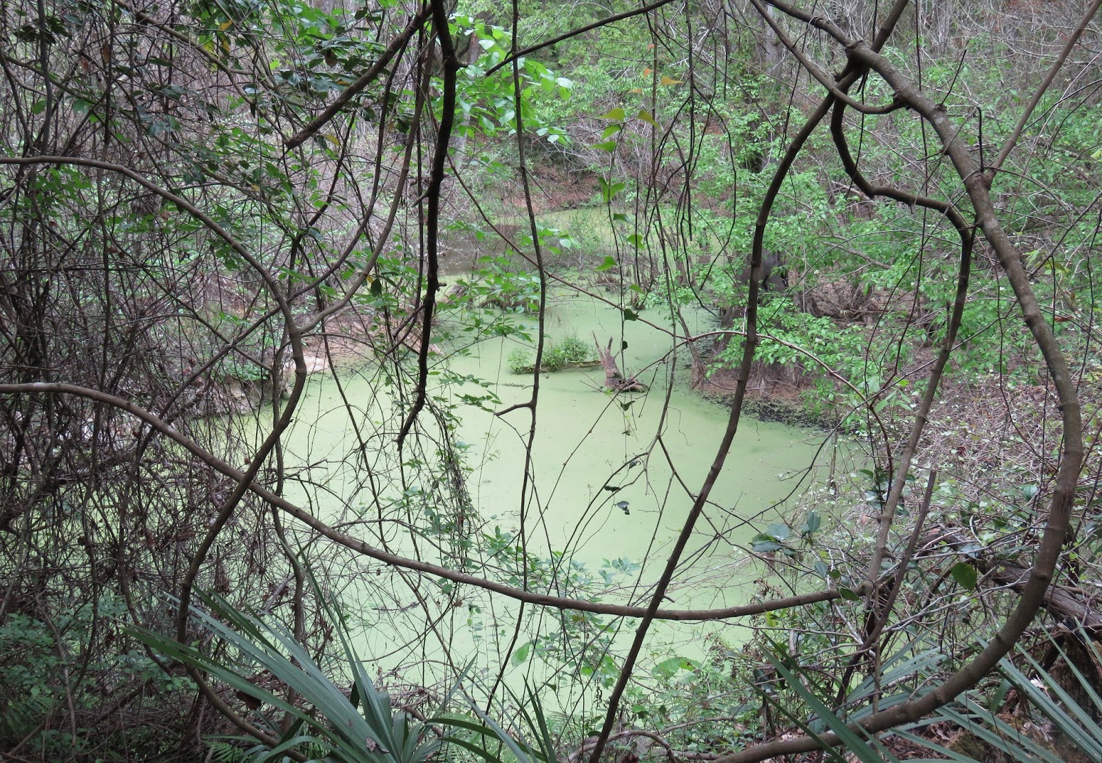
Olsen Sink is covered with duckweed, tiny native plants that float on the surface. 
Not that you wanted to, right?
Duckweed can actually be helpful in protecting water quality by blocking the sunlight which would allow algae and other invasive plants to flourish.
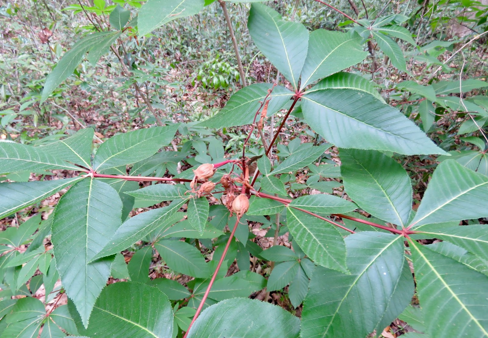
I've heard of Ohio Buckeyes, but not Red Buckeyes.
 This one's red blooms are past.
 Off in the woods I could see some white lilies blooming.
 A native wild grape grows here.
 Large thick vines circle the tree.
 And grow way to the top! You'd have to climb this tall tree to get to the grapes.
Besides the main cave passage, there are numerous smaller passages that experienced cave divers like to explore. But they can be very dangerous.
So warning signs are posted next to the cave entrance to these side tunnels. Divers can easily get disoriented in them because there is no longer any light from the springs above.

Another small wildflower along the trail.
 The trail crossed the road.
 This entrance to the cave system was discovered in 1967.

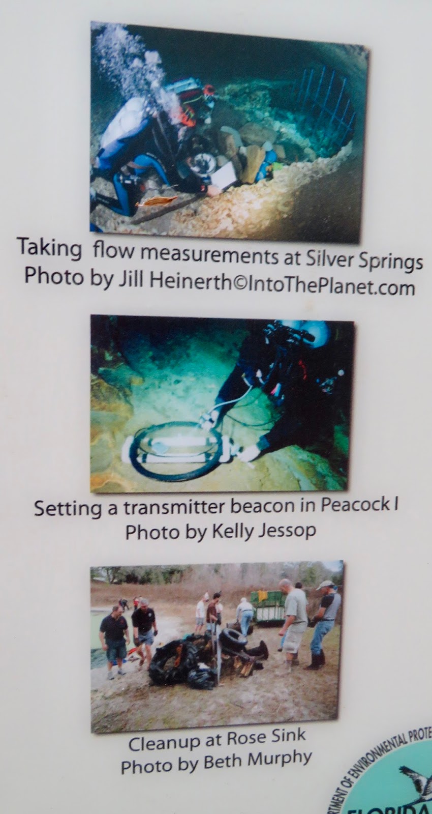
 What else do divers do in the springs? Some are working.
 Pothole Sink
This tall tree is a Loblolly Pine.
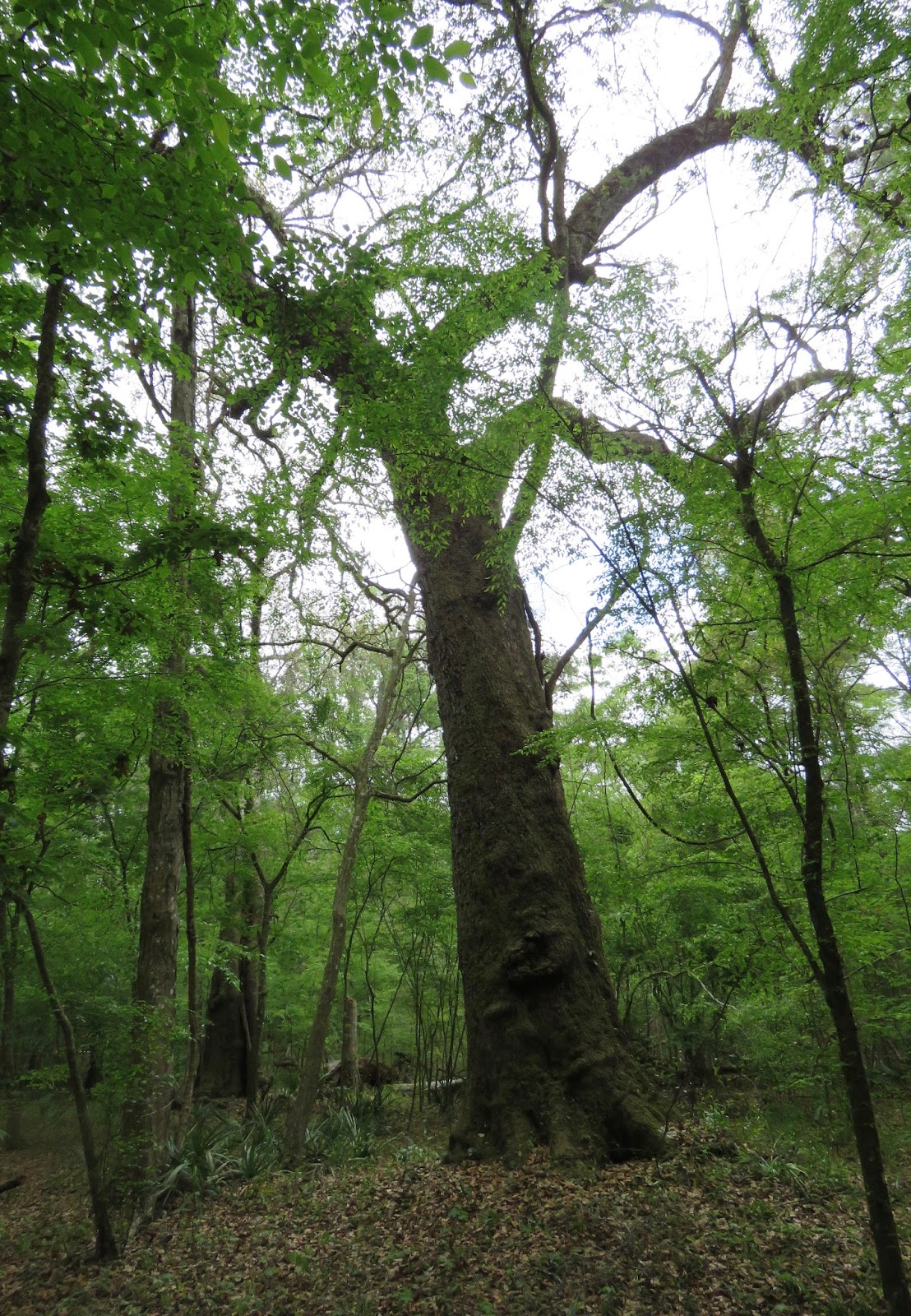
 And this is a Live Oak.
 And we have completed the loop and are back at Peacock Spring I.
 People also can swim and snorkel in the springs.
 But today it was all about diving. I was the only hiker on the trail.
 It looks like divers need a lot of expensive-looking gear. These two women are heading back to the parking lot for their tanks.
 Only certified cave divers and students with instructor/guides are allowed in Peacock Springs. There is one other large spring that allows divers certified in Open Water.
There was a display about the limestone and prehistoric marine fossils.

Swim at your own risk, and yes, there might be alligators.
 Not sure, but it looked like some diving lessons were taking place in Spring II.


I'm not sure exactly what they were doing.
 I think that's Peacock Spring III.
I wonder if Dr. Peacock had an orange grove here? This is another large spring and the only one where Open Water divers are allowed to dive.
 Just so you know.

 The divers' bubbles have opened a hole in the duckweed cover.
I found this photo on a diving website. Looks like duckweed could be messy to dive in.

Limestone outcroppings.


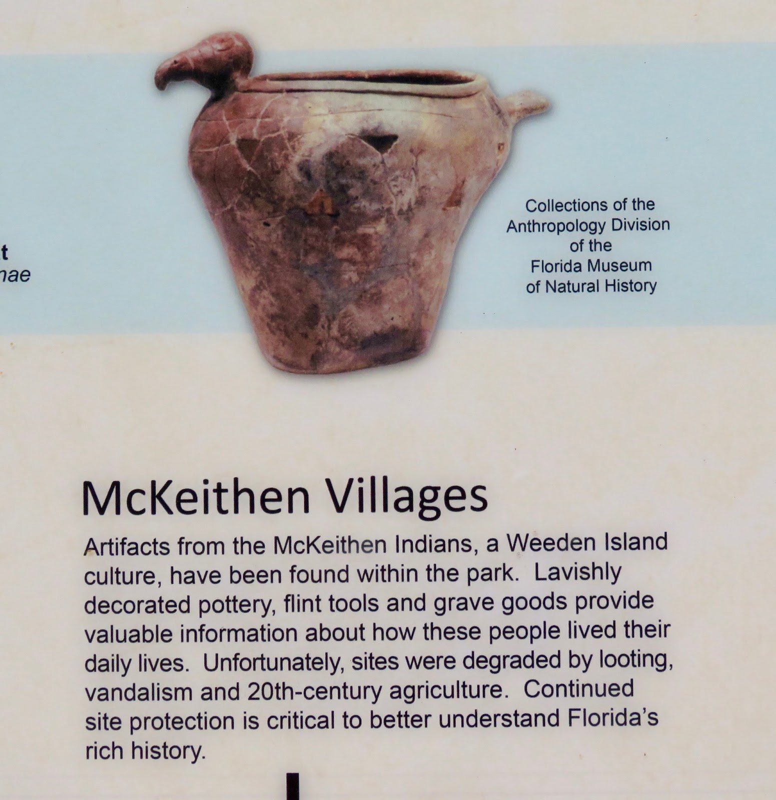
And one more thing I learned. I had never heard of the McKeithen Indians either. I'll save that for another day.